Poland • Hiking • Forest Tourism

Trails, Parks & Forest Routes

Marked hiking routes across Poland's national parks and protected forests — from the Tatra ridges to the ancient stands of Białowieża. Practical information on access, difficulty ratings, and infrastructure.

Trail Difficulty Guide
Stone-paved hiking trail in the Tatra Mountains, Poland
23 National Parks
Poland maintains 23 national parks covering varied landscapes from coastal dunes to alpine zones.
PTTK Trail Network
The Polish Tourist and Sightseeing Society manages thousands of kilometres of marked routes across the country.
5 Colour Codes
Polish trails use a standardised colour-coding system to indicate route direction, difficulty, and type of terrain.
Accessible Routes
Several parks have designated accessible paths with hardened surfaces suitable for visitors with limited mobility.
Guides & Trail Reports

Practical overviews of specific parks, routes, and trail infrastructure based on publicly available information from park authorities and the PTTK.

Hiking trail at Zawrat Pass, Tatra Mountains
Trail Guide
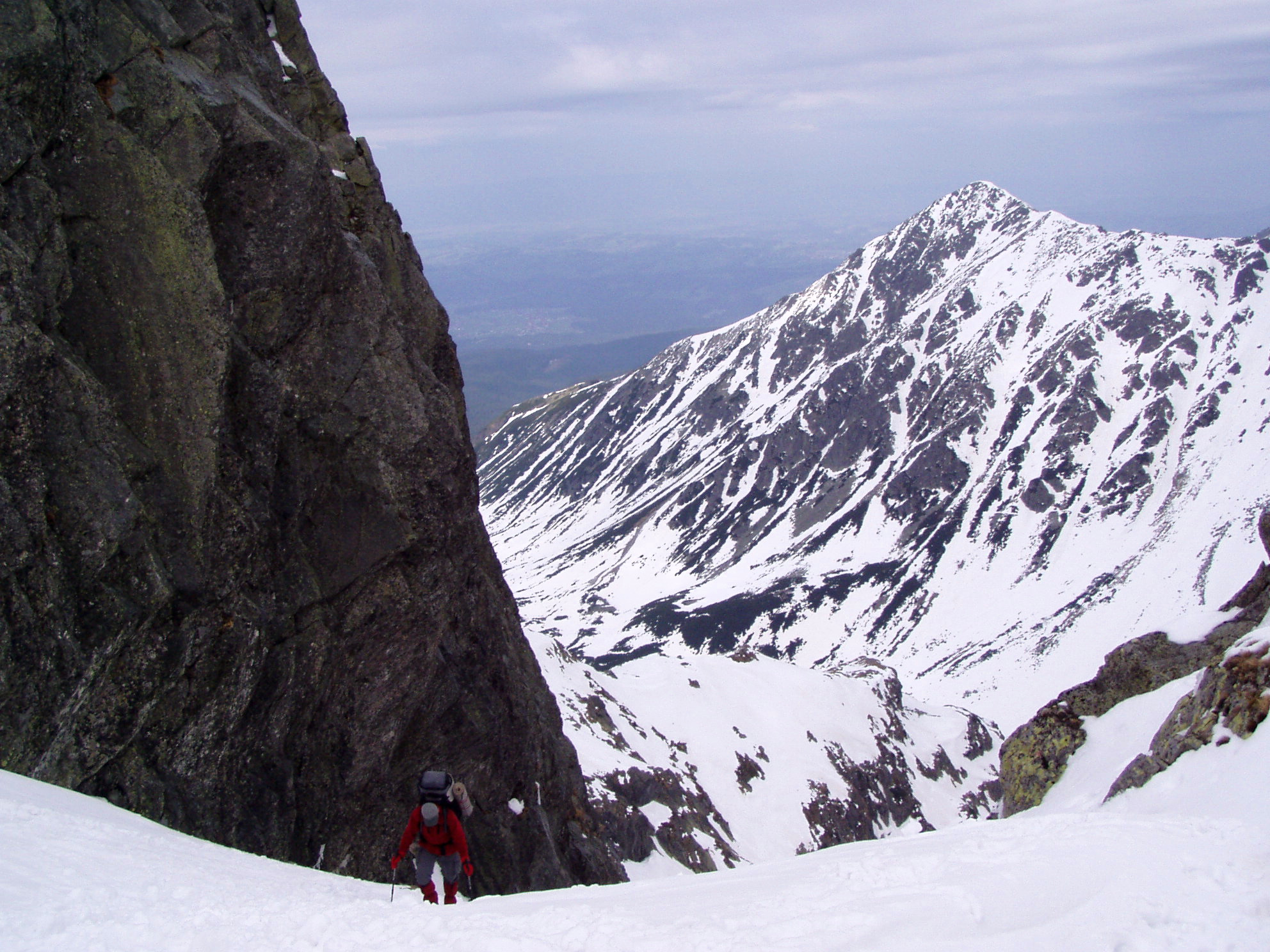
Understanding Trail Difficulty Levels in Poland

How the PTTK colour-coded system works, what each marker means in practice, and how ratings compare across different mountain and forest environments.

Updated May 2026

Read article →
Royal Oaks Trail, Białowieża Forest National Park
Forest Tourism
Białowieża Forest: Tourism Infrastructure and Access

An overview of the trail network, guided tour requirements, visitor facilities, and seasonal access regulations inside Białowieża National Park.

Updated May 2026

Read article →
Hiking path on Tarnica summit, Bieszczady
National Park
Bieszczady National Park: Marked Hiking Routes

The main ridge routes, access points from Ustrzyki Górne and Wetlina, accommodation infrastructure, and what to expect on trails across the Bieszczady range.

Updated May 2026

Read article →
Trail Colour System

Poland's PTTK uses five trail colours. Each colour identifies a specific route — it does not directly indicate difficulty on its own.

Colour Typical Use Common Context
Red Main ridge routes, long-distance traverses Tatra high ridge, Sudeten main trail, Bieszczady ridge walk
Blue Secondary routes, valleys, connecting paths Tatra valley approaches, Karkonosze descent routes
Green Shorter routes, educational trails, forest paths National park educational circuits, lowland forest walks
Yellow Short loops, summit approach alternatives Village-to-viewpoint links, Pieniny river gorge walk
Black Technical or demanding routes, steep terrain Tatra via ferrata approaches, Tatry rocky sections
What to Expect on the Trail

Facilities vary significantly between mountain parks and lowland forest areas.

Mountain Parks (Tatry, Bieszczady)

PTTK mountain refuges (schroniska) operate at regular intervals along main ridge routes. Advance booking is recommended during peak summer months (July–August) and autumn foliage season (late September–October).

Trail markers are painted on rocks and trees at frequent intervals. In the Tatra National Park, some sections require a paid entry ticket; consult tatrzanski.pl for current fees.

Forest Parks (Białowieża, Kampinos)

Białowieża's strict protection zone (Obszar Ochrony Ścisłej) is accessible only with a licensed guide. The buffer zone has marked self-guided trails. Entry to the national park's core zone costs a fee; see bpn.com.pl for current rates.

Kampinos National Park near Warsaw has an extensive network of hiking and cycling routes entirely without entry fees, making it one of the most accessible large protected areas in Poland.

Send a Message

Questions about trail information or corrections to route data? Use the form below.

Your request has been submitted.